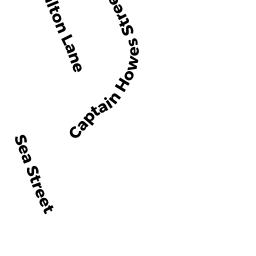
37 CAPTAIN HOWES STREET ED
Owner Information
POPEO PAUL D TRUSTEE
180 SEA STREET
SOUTH DENNIS, MA 02660


Property Details
37 CAPTAIN HOWES STREET ED is classified as a Undevelopable Residential Land.
37 CAPTAIN HOWES STREET ED is valued at $119,400. The land is valued at $119,400 and the structures are valued at $0.
This property is in Zone 1. Confirm with local Zoning Board authorities to ensure there are no overlays or other easements on this property.
The most recent deed for 37 CAPTAIN HOWES STREET ED is recorded at the local registrar in Book 33925, Page 145. 37 CAPTAIN HOWES STREET ED was last sold on Tuesday, March 23, 2021 for $55,000.
Assessment data from fiscal year 2022.
Flood Data
According to the FEMA National Flood Hazard Layer, this property does not appear to be in a flood zone. It may also be in an area not yet reviewed. Nonetheless, confirm this information prior to taking any action.
To view the flood hazards around this property, create a FEMA "Firmette" Map of the area around 37 CAPTAIN HOWES STREET ED.
Broadband Internet Providers
| Provider | Type | Bandwidth (mbps) | |
|---|---|---|---|
| T-Mobile | Fixed Wireless | 25 | 3 |
| HughesNet | Satellite | 25 | 3 |
| GCI Communication Corp. | Satellite | 0 | 0 |
| VSAT Systems, LLC. | Satellite | 2 | 1 |
| Comcast | Cable | 1000 | 35 |
| Verizon New England Inc. | DSL | 5 | 0 |
| Viasat Inc | Satellite | 35 | 3 |
Broadband service provider data from December 2020.
Adjacent Properties
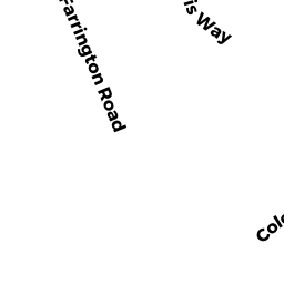
- 8 FARRINGTON ROAD ED
Residential Open Land owned by CRONIN MICHAEL ET ALI - 0 CAPTAIN HARRIS CIRCLE ED
Undevelopable Residential Land owned by SEARS THOMAS R - 29 CAPTAIN HOWES STREET ED
Vacant, Tax Title/Treasurer owned by TOWN OF DENNIS - 35 CAPTAIN HOWES STREET ED
Undevelopable Residential Land owned by BRENNAN MARY A (EST OF) - 15 CAPTAIN HOWES STREET ED
Developable Residential Land owned by SEARS PATRICIA E - 150 SEA STREET ED
Single Family Residential owned by NEU RICHARD W ET UX